B.Sc. Surveying and
Geo-Informatics
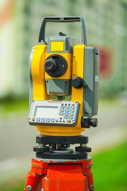
Trains experts in land surveying, geospatial technology, mapping, and geographic information systems for infrastructure development.
Duration
4 Years
Degree Award
Bachelor’s Degree
Mode
Full-Time
Programme Objectives
- Master surveying techniques and instruments
- Apply GIS and remote sensing technologies
- Conduct cadastral and engineering surveys
- Process and analyze spatial data
- Support infrastructure and development projects
Career Opportunities
- Land Surveyor
- GIS Specialist
- Geospatial Analyst
- Cartographer
- Survey Project Manager
- Remote Sensing Specialist
- Urban Planner
Entry Requirements
- Five O'Level credit passes including English Language, Mathematics, Biology, Chemistry and Physics
- JAMB UTME score as specified by the institution
- Successful Post-UTME screening
Ready to Explore Surveying and Geo-Informatics?
Join us and start your journey towards academic excellence.